Jennifer Henning's German Genealogy Site
Jennifer Henning
Austrian Silesia
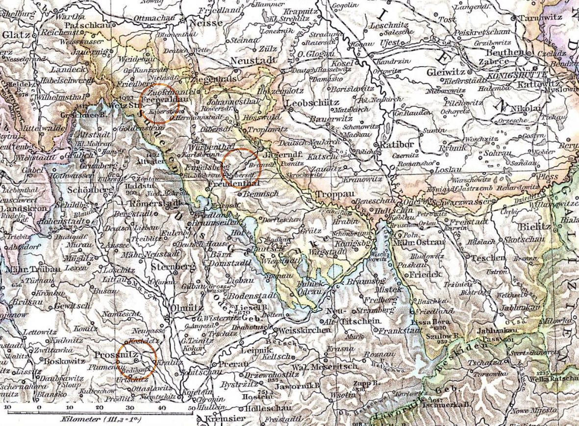
Map published by Richard Andreea.
Navigation
Copyright ©2005-2016 byThis page created November 25th, 2016
Map published by Richard Andreea.

| |
| To zoom in to a more detailed map, click within any Gold Circle on the above map. | |
|---|---|
Map dates from 1880. It covers an area of approximately 254 by 187 km (158 by 116 US miles).
Map image was adapted from https://en.wikipedia.org/wiki/Austrian_Silesia