Mitch Blank's North-German Genealogy Site

Let me know if we are researching the same people or places.


Name and place indexes for this entire web site.

Information on just Kreis Greifenberg, Pommern.

Introduction to this web site.
Copyright ©1998-2017 by Mitch Blank
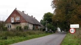
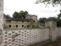
Stargordt
(Now Starogard)
Kreis Regenwalde, Pommern
(Click on picture for larger image)
Navigation
Let me know if we are researching the same people or places.
Name and place indexes for this entire web site.
Information on just Kreis Greifenberg, Pommern.
Introduction to this web site.
This page created July 30th, 2001, updated May 25th, 2007
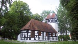
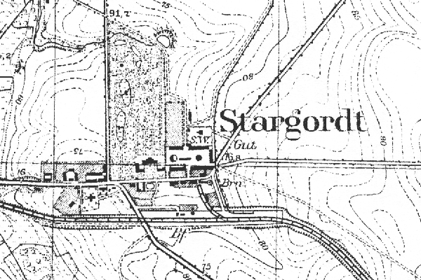
Kreis Regenwalde, Pommern
(Click on picture for larger image)
| |
| To zoom out to a larger area map click here. | |
|---|---|
Map dates from 1891. It covers an area of approximately 1.9 by 1.3 km (1.2 by 0.8 US miles).
Map image was adapted from 1:25K Prussian Landsaufnahme, page 2259